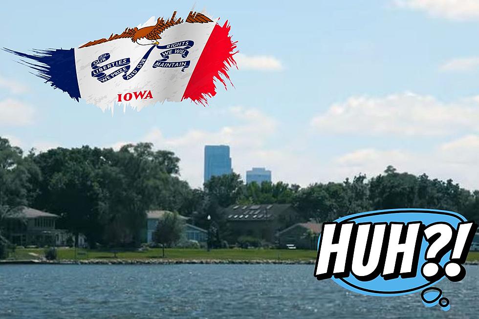
Why is This Iowa Lake Stuck Inside Nebraska?
The Hawkeye State is unique because it is the only U.S. state with borders on both its east and west sides—formed by the Mississippi and Missouri rivers, respectively. This makes its borders fairly straightforward, except for one small anomaly: a small Iowa lake situated entirely inside the state of Nebraska.
When the state's borders were originally drawn, this strange oddity didn't exist. However, Mother Nature had other plans.


At first glance, there is absolutely nothing out of the ordinary in regard to Carter Lake. It's a small body of water, roughly two square miles, located inside the Omaha Metropolitan Area. The problem is, the lake is part of Iowa, yet, you can find it on the west side of the Missouri River, inside Nebraska. But this wasn't always the case.
When Iowa's borders were drawn and it became a U.S. State in 1846, the lake was on the east side of the Missouri River. However, due to the massive flood of 1877, the Missouri river shifted course around (what was then known as) the Saratoga Bend, between Omaha, Nebraska and Council Bluffs, Iowa. Ever since that fateful event, nearly 150 years ago, Carter Lake has been stuck inside Nebraska.
After the flood, a legal battle ensued between Nebraska and Iowa, as to which state the lake (and surrounding area) belonged to. In short, Iowa won the case, and Carter Lake has remained part of its territory ever since.
To learn more about the anomaly that is Carter Lake and its fascinating history, check out the YouTube video below from Iowa PBS.
More From KXRB


![Inside Country Music’s All-Time Nastiest Band Breakups [Pictures]](https://townsquare.media/site/204/files/2016/08/brookd-and-dunn-nastiest-breakups-in-country-music.jpg?w=980&q=75)


