Winter Weather Advisory for Sioux Falls Tuesday
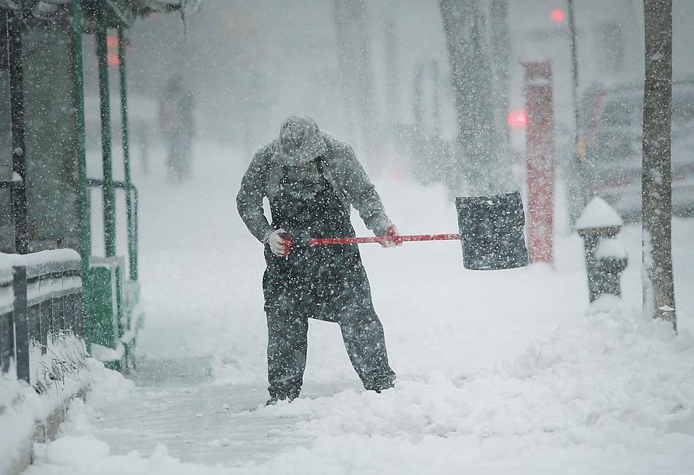
Spring, spring, where are you? Oh well, I guess it's time to get the boots, hats, gloves and shovels back out. At least for a little bit. More snow is on the way for Sioux Falls.
The National Weather Service has issued a Winter Weather Advisory for much of southeast South Dakota and parts of Iowa, Minnesota, and Nebraska. The advisory is in effect from 1:00 AM until 4:00 PM Tuesday March 3, 2018.
A Winter Weather Advisory means that periods of snow, sleet or freezing rain will cause travel difficulties. Be prepared for slippery roads and limited visibilities, and use caution while driving.
In Sioux Falls snow is expected to start after 10:00 PM Monday night and continue throughout the day Tuesday. Three to five inches of snow could possibly fall on the city from this system.
...WINTER WEATHER ADVISORY IN EFFECT FROM 1 AM TO 4 PM CDT
TUESDAY...

* WHAT...Snow expected. Total snow accumulations of 3 to 5 inches
  and ice accumulations of are expected.

* WHERE...Portions of east central and southeast South Dakota,
  northeast Nebraska and northwest Iowa.

* WHEN...From 1 AM to 4 PM CDT Tuesday.

* ADDITIONAL DETAILS...Plan on slippery road conditions,
  including during the morning commute on Tuesday. Be prepared
  for reduced visibilities at times.
See Also:
More From KXRB


