Sioux Falls Breaking 1893 Record For Hottest Start To Summer
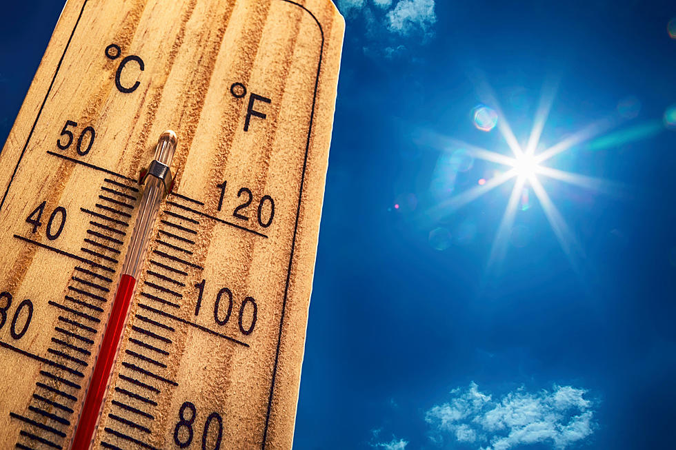
We had some hot weather in the Sioux Falls area this last week. And it appears we may break some heat records coming up this week in the tri-state area.
Meteorologist In Charge Todd Heitkamp from the National Weather Service in Sioux Falls said, “With the current heat expected to continue this week, it now looks like 2021 will be the hottest start to Meteorological Summer. Meteorological Summer began June 1st and continues to August 31st. As of today, this year’s average temperatures or the first few days of June is crushing the previous highest average set back in 1933 of 90.6 degrees.”
The NWS pointed out that using the forecast highs for June 7 – 10 we would have the hottest start to summer in Sioux Falls since roughly 1893.

The average High Temp forecast for the first 10 days of June 2021 is +93. Here are the Top 10 years with Record Warm Starts to Summer in Sioux Falls:
- 1933 – 90.6
- 2017 – 89.8
- 1976 – 89.5
- 2020 – 88.9
- 1968 – 88.3
- 1988 – 86.8
- 1977 – 86.0
- 2018 – 85.3
- 1959 – 85.2
- 1963 – 85.0
4 of the last 5 years have been in the top 10 Warmest Starts To Summer in Sioux Falls. Here is the NWS forecast for this week:
Today: Sunny, HIGH +93. South wind 10 to 15 mph.
Tonight: Mostly clear, with a low around 68. South wind 10 to 15 mph.
Tuesday: Sunny, HIGH +92. South southeast wind 5 to 15 mph.
Tuesday Night: Mostly clear, with a low around 69. Southeast wind 5 to 10 mph.
Wednesday: Sunny, HIGH +94 South southeast wind 5 to 15 mph.
Wednesday Night: A slight chance of showers and thunderstorms. Mostly clear, with a low around 71. South southeast wind 5 to 10 mph. The chance of precipitation is 20%.
Thursday: Sunny, HIGH +94.
Look Inside That Big Pit By The Sioux Empire FairGrounds
More From KXRB