Mega-Iowa – How The Hawkeye State Could Have Been Much Bigger
Most Iowans know that the state was once part of the larger Iowa Territory. But how and why was it broken up? This is the story of the "Mega-Iowa" that never was.
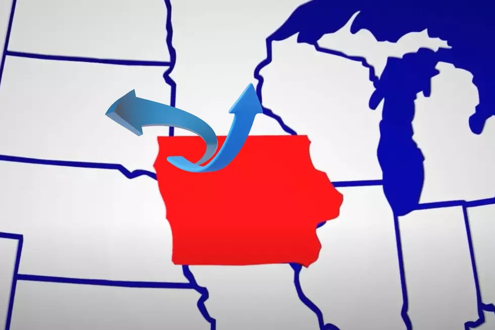
While the state's current borders may seem inevitable, they were the result of a political compromise that shrank its potential size by over two-thirds.
But what would a "Mega-Iowa" look like today? And just how big would it be?

The Legacy of a Different Iowa
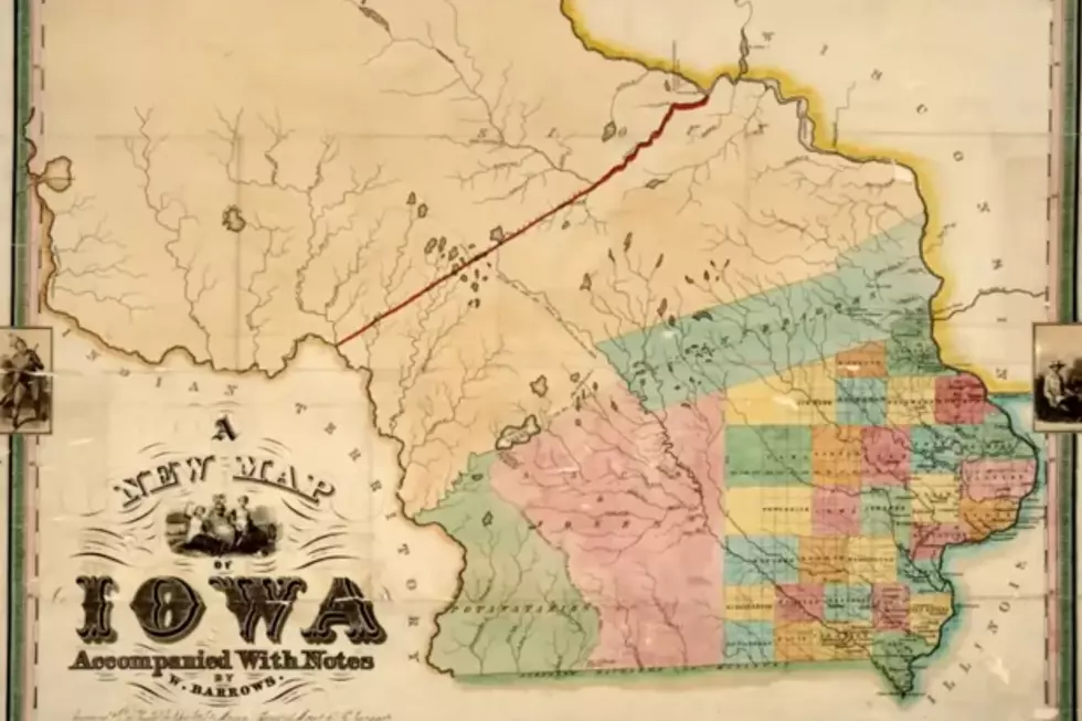
On the 4th of July, 1838, the Iowa Territory was officially established. But it looked much different than it does today. While the territory looked similar to the current state borders along the east and south, the north and west extended much deeper, into what are now the states of Minnesota, South Dakota and even North Dakota. Nearly 2/3 of Minnesota was within the Iowa Territory, while large swaths of the Dakotas were as well. All in all, the Iowa Territory encompassed over 194,000 square miles, dwarfing the current state of Iowa, which is around 56,000 square miles today.
Initially, the first capital of the Iowa Territory was in Burlington, in the far southeast of the territory. A few years later, the capital was moved to Iowa City, which remained the capital well into statehood.
As most Iowans know, Iowa became a state in 1846. So, why, in the 8 years between becoming a territory and statehood, did it shrink? Well, believe it or not, it was all about slavery.
While many in the territory had hoped to keep its borders the way they were, Washington D.C. inevitably got involved and changed things, considerably. The prevailing fear among some in the capital was that a "Mega-Iowa" would be too large and powerful. So, as a compromise, The U.S. Congress got together and shrank Iowa by over 200 percent. This outraged many who lived in the Iowa Territory, but there wasn't much they could do about it. Iowa was admitted as a state (with its current borders) on December 28th, 1846.
While it's been nearly 200 years since this transpired, it's fun for Iowans to think about the "What If" factors. So, let's take a look at some fun-facts about "Mega-Iowa" if it were a state in present day, shall we?
Mega-Iowa Size: This is the easiest one to figure out. Iowa territory was roughly 194,000 square miles, so if it became a state, it would be the 3rd largest state in the entire union. Bigger than states like New Mexico, Montana and even the state of California. It would only be smaller than the giants of Alaska and Texas. How cool would that be?
Mega-Iowa Approximate Population: Around 9.5 million, making it the 11th biggest state, in terms of population. It would rank just ahead of New Jersey and just under Michigan.
Mega-Iowa's 5 Biggest Cities: 1) Minneapolis, 2) St. Paul, 3) Des Moines, 4) Sioux Falls, 5) Fargo. Honorable mentions would be such cities as, Cedar Rapids, Rochester, Grand Forks, Rapid City, Saint Cloud and Davenport.
To learn more about how Iowa became a state and why its borders shrunk, check out the YouTube video below from Have History Will Travel.
Story Sources: Iowa Territory Wikipedia Page, Iowa Before The State Page, Fandom Website
Would You Pay $350 To Stay In This Creepy Old Iowa Jailhouse?
More From KXRB