Evil Olive, Our Next Winter Storm To Slam South Dakota & Minnesota
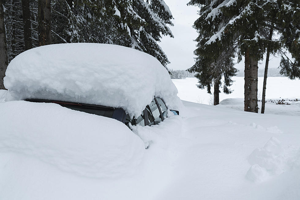
Her name is Olive and like an overbearing obtrusive relative, she will be passing through the region this week leaving her mark with heavy snow and strong winds causing blizzard conditions.
Early indications peg Olive as the most impactful winter storm of the season. A Winter Storm Watch has been posted for all of South Dakota.
WINTER STORM WATCH REMAINS IN EFFECT FROM LATE TUESDAY NIGHT THROUGH THURSDAY MORNING
Late Tuesday is when we are expected to see the first snow in this system that's coming out of the Pacific Northwest.

And just as we were seeing our bare roof and the front lawn again comes a forecast with the potential of 9 to 13 inches of snow in the southeast. East central South Dakota's early predictions are for 10 to 16 inches.
Southwest Minnesota is looking at 6-13 inches possible. Up to 20 inches in the Minneapolis metro.
As Winter Storm Olive moves through, areas may see winds reaching 55 MPH causing blizzard conditions.
I'll be stocking up today for this one. A trip to the gas station to fill up the can for the snowblower.
Those of you who have travel plans this week will need to be prepared. Have that winter survival kit in your vehicle if you must travel. Parents should be prepared for school cancellations. Travelers may find themselves stranded due to closed roads.
The 6 Types of South Dakota Drivers You Deal With Every Winter
See the Must-Drive Roads in Every State
More From KXRB