Sunday’s Sioux Falls Tri-State Rainfall Amounts
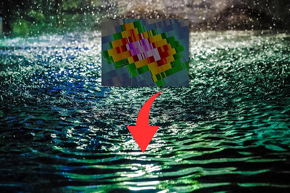
Areas of Sioux Falls saw lots of heavy rain on Sunday. The major portions of the rain fell in under an hour of time. Jim Brendon had over 3 inches of rain in his rain gage in west Sioux Falls Sunday afternoon.
Shawn Cable from the KSFY Severe Weather Center is reporting these official rainfall amounts from around the Sioux Falls Tri-State area.
- Sioux Falls Airport - .73
- Brookings - .66
- Mitchell - .62
- Yankton - .26
- Madison - .90
- Watertown - 1.35
- Chamberlain - 1.24
- Pipestone - .52
- Orange City - .69
- Luverne - 1.5
- Windom - 1.18
- Worthington - 1.01
Here is the forecast from the National Weather Service in Sioux Falls as we start our work week.
Today: Showers, mainly before 10:00 AM. High near 70. North wind around 15 mph, with gusts as high as 25 mph. Chance of precipitation is 80%. New precipitation amounts between a tenth and quarter of an inch possible.
Tonight: Mostly cloudy, then gradually becoming mostly clear, with a low around 56. North wind 10 to 15 mph.
Tuesday: Mostly sunny, with a high near 74. North wind around 10 mph.
Tuesday Night: Mostly clear, with a low around 51. North wind 5 to 10 mph becoming light and variable in the evening.
Wednesday: Sunny, with a high near 77. West wind around 5 mph.
Wednesday Night: Mostly clear, with a low around 58.
Thursday: Mostly sunny, with a high near 78. Breezy.
More From KXRB