Satellite Center in Sioux Falls Helping with Typhoon Recovery in the Philippines
SIOUX FALLS, S.D. (AP) — A U.S. Geological Survey center in South Dakota is providing satellite images in the aftermath of the devastating typhoon in the Philippines.
The Earth Resources Observation and Science Center north of Sioux Falls collects, archives and makes available for download more than 400 data-filled images of the Earth each day.
KELO-TV reports that the center is providing information to the United Nations, the Red Cross and other agencies. Scientist Brenda Jones says the information is especially useful for search and rescue groups, which can use it to determine if air fields and roads are still usable.
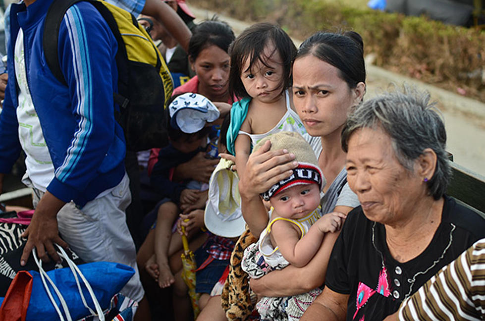
Typhoon Haiyan killed thousands of people in the Philippines and displaced a half million more late last week.
Copyright 2013 The Associated Press. All rights reserved. This material may not be published, broadcast, rewritten or redistributed.
More From KXRB


