Severe weather rolled through the Sioux Falls area Tuesday night overlapping into Wednesday morning. Not the most furious, but they made their presence known.
Wednesday could shape up to be another interesting weather day in the Sioux Falls and adjacent regions. Look for early trends to bring severe storm potential.
Here in the Best Little City in America we always seem to get a few hours warning of approaching storms allowing for the full media upheaval. I start having flashbacks to big storms of the past.
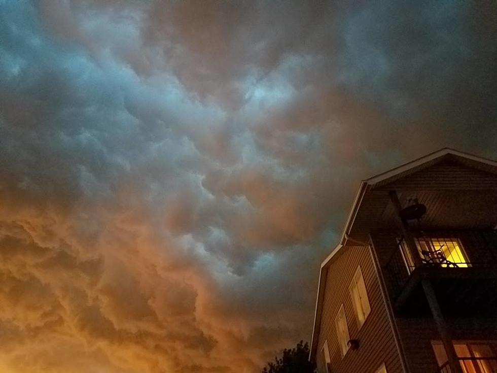
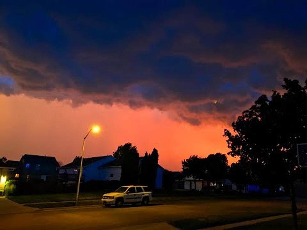
For over seven hours, severe weather rolled through central and eastern South Dakota, northern Nebraska, western Iowa and western Minnesota on Tuesday (June 13).
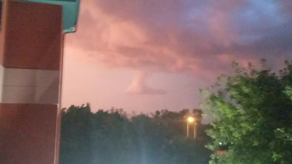
Storms quickly passed through Sioux Falls and were awed by the vivid purple clouds and the bright smashes of lightning. Here's a short video of the awesomeness.
Dark clouds enveloped Sioux Falls today (June 12), but the actual outcome was only a bit of small hail and heavy rain. The next event could produce more storms.