Scientists Gathering in Sioux Falls to Examine Our World
Lasting through Wednesday (November 15), the Pecora 20 Conference is being held at the Denny Sanford Premier Center. Its focus is exchanging ideas that can improve how satellite imagery is utilized.
EROS Data Center Director Frank Kelly says scientists from multiple continents are gathering at the event.
“Every two years the (scientific) community which now has evolved into a worldwide community gets together to talk about what’s going on in land remote sensing. Which means what the land looks like and how it has changed. We also assess the data and project forward as to what things might look like (in the future).”
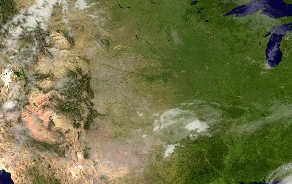
Remote sensing can be very useful according to Kelly because it can help be an early detector of arid conditions.
“Other observations try to detect potential areas of drought around the world. You can see how the land has changed and we can try to get ahead of where dry areas form and which areas are escaping drought status. We also look at forests and the issues that are going on with the harvesting of forests.”
Kelly says one particular area of study is mapping the after effects of the wildfire outbreak in California then using the data to be proactive in identifying vulnerable areas.
With over 40 years of archived imagery, Kelly believes those tools can be a good resource to track how urban areas interface with rural areas.
See Also:
More From KXRB