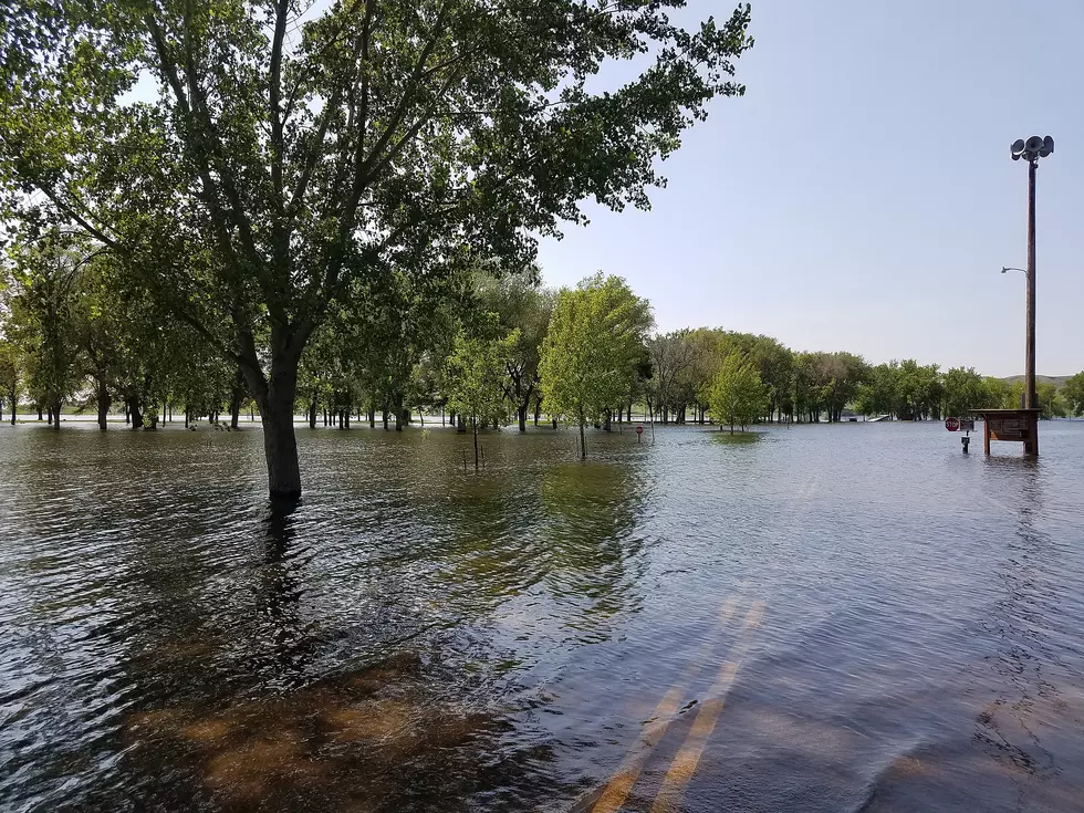
Flood Map Update Adds More Sioux Falls Homes to Risk Area
SIOUX FALLS, S.D. (AP) — The first flood-risk map revision in half a century in a fast-growing corner of Sioux Falls could affect nearly 300 property owners.
The Federal Emergency Management Agency is updating the maps for the area. The Argus Leader reports the proposed changes could affect 280 properties, 15 homes and a swath of undeveloped land.
FEMA Project Manager Sean McNabb says the area was identified as having a lot of growth, and flood maps with outdated information.
New maps will give property owners a better understanding of their flood risk, but they also could face restrictions on what they can do with their land. Owners of structures with federally backed mortgages would have to buy flood insurance.
Another 30 properties would be removed from the flood zone under the proposed maps.
Copyright 2015 The Associated Press. All rights reserved. This material may not be published, broadcast, rewritten or redistributed.
More From KXRB